
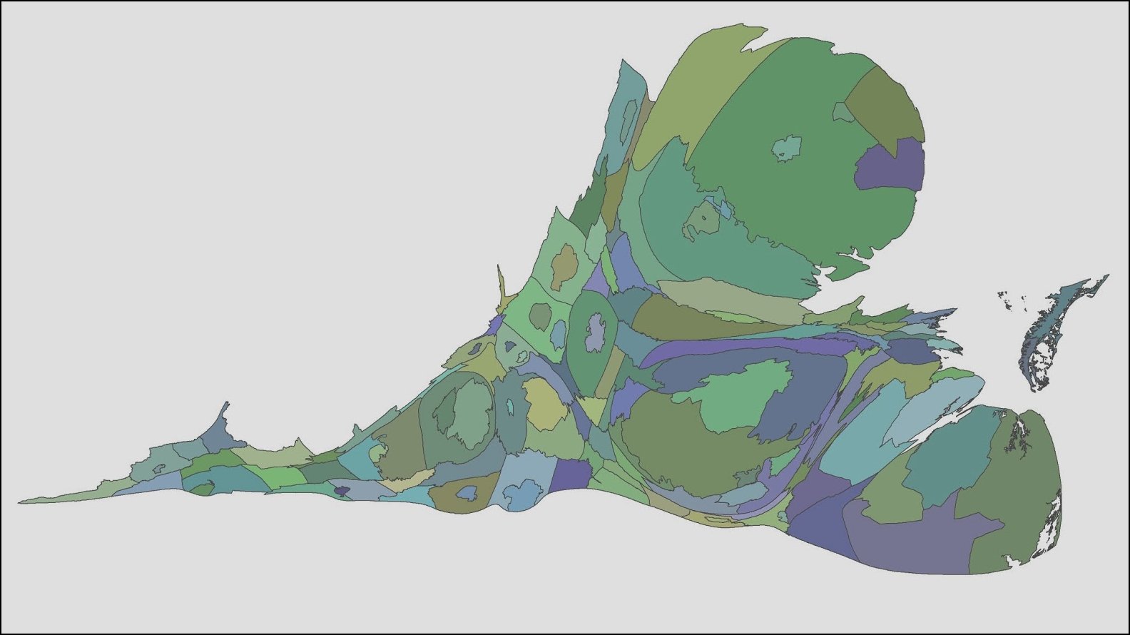
Luke Juday has a new toy, software that allows him to draw a map of Virginia that distorts cities and counties according to the relative size of their population. It’s one more way to show the demographic dominance of the urban crescent from Northern Virginia to Hampton Roads.
The map creates an interesting Rohrschach test. I see a fish with two heads (Northern Virginia is one, Hampton Roads the other). Anybody else?

