

by James C. Sherlock
This weekend is the unofficial start of summer, and summer and early fall weather can induce disasters in this state. We’ll look at the hurricane threat to all of Virginia, not just the coasts.
Coasts. Hurricanes get the most press and preparations on the coasts.
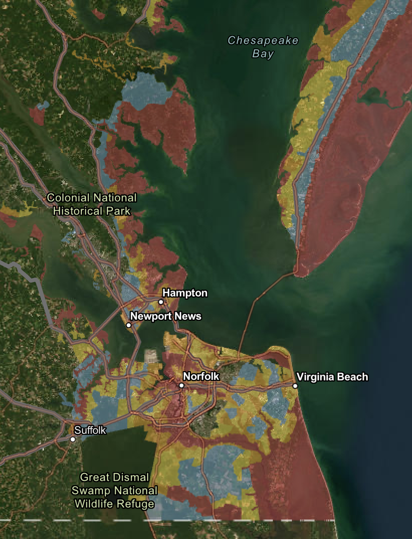
Hampton Roads homeowners expect the occasional hurricane, and our low-lying geography draws our attention, but our official regional evacuation plans are a mystery to most here.

(Hampton Roads area) EVACUATION ROUTES
If officials order an evacuation for your area, use one of these designated routes. Become familiar with these routes and plan to leave early to avoid major traffic delays.
PENINSULA
» Interstate 64 West
» Interstate 664 North
» U.S. Route 17 North
» U.S. Route 60 West
» Route 143
During severe weather, the Jamestown-Scotland Ferry is removed from service and should NOT be considered part of your evacuation plan.
SOUTHSIDE
» 264 West and Interstate 64
Hampton Roads Bridge-Tunnel
» Interstate 664 North
Monitor Merrimac Memorial Bridge-Tunnel
» U.S. Route 17 North
» U.S. Route 58 West
» U.S. Route 460 West
» Route 10 West
The Chesapeake Bay Bridge-Tunnel is NOT an evacuation route. For closure information, visit www.cbbt.com.
Fortunately, the emergency routes for Peninsula and Eastern Shore residents and visitors are intuitive, if undoubtedly in the event choked with vehicles. But good luck to those of us in the Southside. Evacuation from here will prove to be the biggest shuffling of a deck of a million motor vehicles in state history.
EASTERN SHORE
All Eastern Shore residents will use U.S. Route 13 North toward Salisbury, Maryland
“Leaving early” means departing before a hurricane’s landfall is forecast.
Far less predictable and historically more deadly in the Commonwealth are river and mountain flooding.
Rivers. The Potomac River has flooded more than once as far north as D.C. as a result of hurricanes. NOAA has noted:
On August 23, 1933, a Category 1 hurricane made landfall at Norfolk, VA. Its center traveled up Chesapeake Bay and caused a large storm surge up its tributaries, including the Potomac River. Combined with heavy rains, $27 million in damage was caused, much of it in the Washington, DC area, and some thirty deaths are attributed to this storm.
It knocked a train off a railroad bridge in the District. A surface weather analysis of the Great Potomac Hurricane of 1933 is depicted in the opening image. It was the greatest tropical depression ever recorded in this state.
On a personal note, the author and his wife evacuated to Arlington ahead of a much later hurricane, only to sit in a hotel and watch the storm’s effects put Haines Point completely underwater.
Mountains. But people who live in mountainous areas of the Commonwealth face hurricane-related dangers that are as bad as or worse than those in other regions.
In August of 1969, the remnants of Hurricane Camille that came ashore on the Gulf coast triggered more than 5,000 Virginia landslides centered in Nelson and eastern Rockbridge Counties. It rained for twelve hours that night as hard as theoretically possible, 3 inches per hour.
Some people were warned by the noise of the rising waters; others by a sense of danger. One man smelled crushed trees. Others were less fortunate: A total of 113 people died; 39 were missing and presumed dead; 102 were injured. All of this happened in the night; by daylight, most of the damage had been done.
The General Assembly had to call a special session to declare the missing, buried under tons of earth and rock, to be dead so that their loved ones could have access to their life insurance.
Wintergreen’s Stoney Creek golf course is built on valley land that one of Camille’s biggest landslides resculpted. It is assumed to be where many of those bodies are buried.
Those who live in the bottomland should remember how it gets its name.
What to do
- The first thing those in flood zones on coasts, near rivers, or in geographical depressions, valleys, or enclosed concavities on hillslopes in mountain areas should do is have an evacuation plan. Planning cannot be overemphasized. This author’s personal evacuation plan from his home in Virginia Beach is not the straightest distance between two points. Several areas between his house and Interstate 264 will flood simultaneously, including the approach to the interstate’s beginning.
- When the planning is done, it is useful for all Virginia homeowners to review their coverage to ensure it meets their needs.
The State Corporation Commission has a very good Insured Homeowner’s Guide for Loss Due to a Disaster on its website. Take a look.
Right after you review your evacuation plan.
Leave a Reply
You must be logged in to post a comment.